Apple Maps has been updated with all-new transit data in Montréal, providing users with bus, subway, and train routing in Canada's second most populous city. The public transit information is supplied by the city's public transport agencies Agence métropolitaine de transport (AMT) and Société de transport de Montréal (STM).

Montreal Metro subway and STM bus directions are available throughout Greater Montreal, including the main island and throughout the suburbs of Blainville, Boucherville, Brossard, Châteauguay, Dollard-des-Ormeaux, Laval, Longueuil, Repentigny, Saint-Jérôme, Saint-Lambert, and Terrebonne.

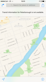
Montreal is the second Canadian metro area to support Apple Maps transit after Toronto. However, as we reported last June, transit data actually extends to many cities throughout Southern Ontario, including Barrie, Mississauga, Oakville, Oshawa, Peterborough, Burlington, Hamilton, Guelph, KWC, York Region, and Niagara Region.
Other cities with Apple Maps transit directions include Baltimore, Berlin, Boston, Chicago, London, Los Angeles, Mexico City, New York City, Philadelphia, San Francisco, Sydney, and multiple Chinese metro areas. Transit mode was added to Apple Maps as one of the headline features of iOS 9 last year.
(Thanks, Olivier!)
Article Link: Apple Maps Expands Transit Data to Montreal