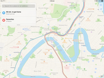
Apple Maps has been updated with transit data in Queensland and Western Australia, enabling iPhone users to navigate with public transportation directions in large cities such as Brisbane and Perth, and surrounding areas.

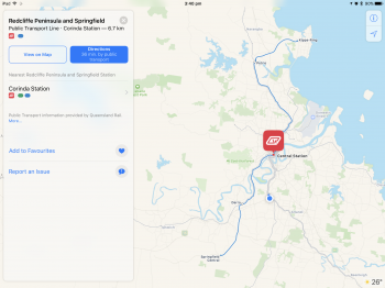
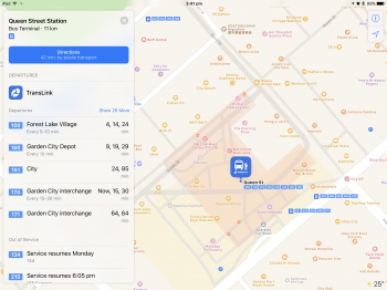
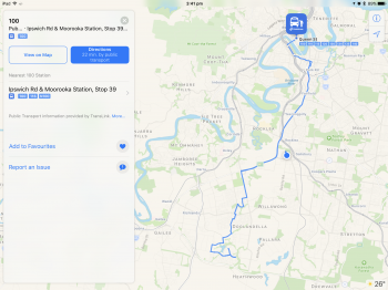
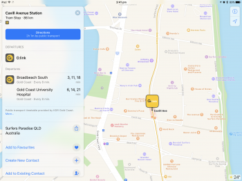
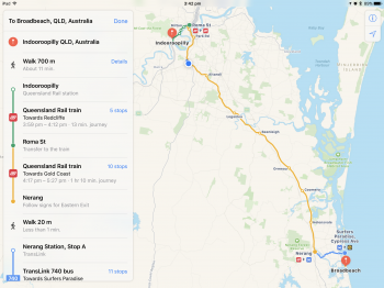
In Brisbane, supported vehicles include TransLink buses and Queensland Rail trains, with routes extending to, from, and within the Gold Coast and Sunshine Coast suburbs. Apple Maps also supports G:link trams in the Gold Coast.
Travel north to smaller cities like Rockhampton and Townsville and Apple Maps provides routes for Sunbus buses. Of note, long-distance train routes along the Queensland coast don't appear to be available at this time.
Many other regions of Queensland are now supported, so check the Public Transport tab in Apple Maps if you live somewhere else in the state.
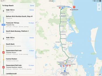
In Western Australia, the biggest addition is Perth. Transperth buses and trains routes extend to suburbs like Mandurah and Rockingham. Long-distance Transwa train routes are also supported between several Western Australia destinations.

Apple Maps transit directions were already available in Adelaide, Melbourne, and Sydney prior to today's expansion.
Apple Maps gained a Transit tab in iOS 9. The feature lags several years behind Google Maps, but Apple's public transportation support is exhaustive, mapping all station entrances and listing departure times.
At launch, the feature was limited to Baltimore, Berlin, Boston, Chicago, London, Los Angeles, Mexico City, New York, Philadelphia, San Francisco, Sydney, Toronto, and over 300 cities in China. Since then, Apple has been working to expand support for public transportation to other cities around the world.
Newer additions include Atlanta, Calgary, Columbus, Dallas, Denver, Detroit, Honolulu, Houston, Kansas City, Las Vegas, Madrid, Manchester, Miami, Minneapolis-Saint Paul, Montréal, New Orleans, Paris, Portland, Pittsburgh, Prague, Rio de Janeiro, Sacramento, Salt Lake City, San Antonio, San Diego, Seattle, and Singapore.
For a regularly updated list of cities with Apple Maps transit, visit the iOS Feature Availability page on Apple's website.
Article Link: Apple Maps Transit Directions Expand to Brisbane, Perth, and Surrounding Areas in Australia