Become a MacRumors Supporter for $50/year with no ads, ability to filter front page stories, and private forums.

MacRumors

macrumors bot
Original poster
Apr 12, 2001
68,733
39,676


Apple has expanded its updated Apple Maps to Germany and Singapore, with the app now offering more detailed road coverage, improved navigation, three-dimensional landmarks, improved views of parks, buildings, airports, shopping centers, and availability of the Look Around feature.

singapore-maps.jpg

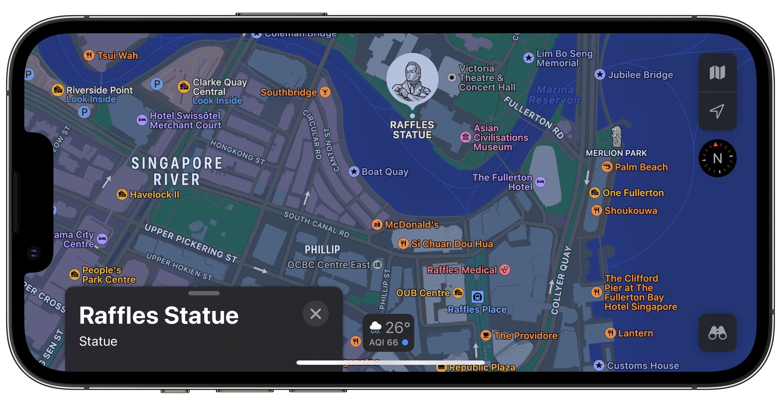
The expansion comes after 48 days of public testing, according to Apple Maps enthusiast Justin O'Beirne, marking the fourteenth time that Apple has expanded its new map data since its public launch in September 2018. Germany and Singapore are the twelfth and thirteenth countries to receive Apple's new map data, and Singapore is the first country in Asia to receive it.

O'Beirne reports that Apple's new map data now covers 18.4% of Earth's land area and 8.5% of the global population (or 673 million people worldwide). That's after almost four years of expansions and nearly eight years of data collecting. Based on the pattern of Apple's expansion, the next update is likely to consist of France and Monaco.

Apple's redesigned maps were first introduced in iOS 12, and since then, the Cupertino company has been working on expanding them. The updated Maps app offers up faster and more accurate navigation along with more detailed views of roads, buildings, malls, sports fields, foliage, pools, pedestrian pathways, bodies of water, and more.

Article Link: Redesigned Apple Maps Expands to Germany and Singapore
 
Last edited:
  • Like
Reactions: schneeland
more like

*available in one city of Germany (Munich)
other features available in additional 4 cities

However, it does seem to show the speed limit now, which is great and Google Maps does not provide in Germany.

Edit: I love how our building complex (completed in 2020) does not even exist yet according to Apple Maps haha:

IMG_A8CAEA87805B-1.jpeg


vs GOOGLE MAPS:

IMG_B5187D3E64D8-1.jpeg
 
Last edited:
more like

*available in one city of Germany (Munich)
other features available in additional 4 cities

However, it does seem to show the speed limit now, which is great and Google Maps does not provide in Germany.

Edit: I love how our building complex (completed in 2020) does not even exist yet according to Apple Maps haha:

View attachment 1994465

vs GOOGLE MAPS:

View attachment 1994467
The only thing limited to Munich is look around.

You have to ignore satellite imagery, that has nothing to do with their custom maps.
 
  • Like
Reactions: user74246
Does it show traffic density à la Google Maps?? (With colors green, orange, red, dark red, etc...) I'm asking because I don't think this new version has debuted in Spain yet.

Regards
FJSS
 
  • Like
Reactions: GlassFingers
Hopefully this means that the launch in other European countries is closer. Particularly in Poland – they used cars registered in Germany to do image collection, not too long after Germany itself. It seems they’ve added public transport support in München too. I don’t recall seeing it earlier.
 
  • Like
Reactions: GlassFingers
Really appreciate this fine work and new details. Looks great!
Just wondering what takes them years to slowly rollout region after region. This seems like a perfect example of a problem money could solve. At least to my simple mind it seems like a process - once created and perfected - should be possible to nicely scale up and run in parallel by as many maps teams one can afford, all around the world to get their local knowledge.
 
more like

*available in one city of Germany (Munich)
other features available in additional 4 cities

However, it does seem to show the speed limit now, which is great and Google Maps does not provide in Germany.

Edit: I love how our building complex (completed in 2020) does not even exist yet according to Apple Maps haha:

View attachment 1994465

vs GOOGLE MAPS:

View attachment 1994467
Rather saying that besides flyover Munich and 4 other Cities?

Confirming Frankfurt am Main and Frankfurt Airport
 
I have seen that in München street view is available, let‘s see how long it lasts without having almost all houses blurred. Waiting for it to be available in Frankfurt.
 
Does it show traffic density à la Google Maps?? (With colors green, orange, red, dark red, etc...) I'm asking because I don't think this new version has debuted in Spain yet.

Regards
FJSS

The new Apple Maps came out for Spain and Portugal in June 2021, right after Apple’s WWDC 2021. ?
 
Ok! Thanks. The thing is, I don't see traffic densitiy like in Google, which I find it very useful.
Regards.

When you drive along the chosen route, AM shows your route in blue, showing more congested areas in orange and traffic jam areas in red.

If you want to see this “coloured” traffic info when you are not driving, you can choose the car mode in Apple Maps, like so:

6225B2C9-C676-4708-83F9-CA5DB8883520.jpeg

D6F31B3E-DD2A-4EAC-B02A-D9A0ED2FDADA.jpeg
 
  • Love
Reactions: dreyp82
more like

*available in one city of Germany (Munich)
other features available in additional 4 cities

However, it does seem to show the speed limit now, which is great and Google Maps does not provide in Germany.

Edit: I love how our building complex (completed in 2020) does not even exist yet according to Apple Maps haha:

View attachment 1994465

vs GOOGLE MAPS:

View attachment 1994467

What are you talking about? They’re right there….

b90fbbce0074face8e5d8a8d1bb04d11.jpg
 
  • Love
Reactions: dreyp82
Register on MacRumors! This sidebar will go away, and you'll see fewer ads.