
Apple has significantly added to the data available through its Mobility Trends Reports tool using information collected from Apple Maps.
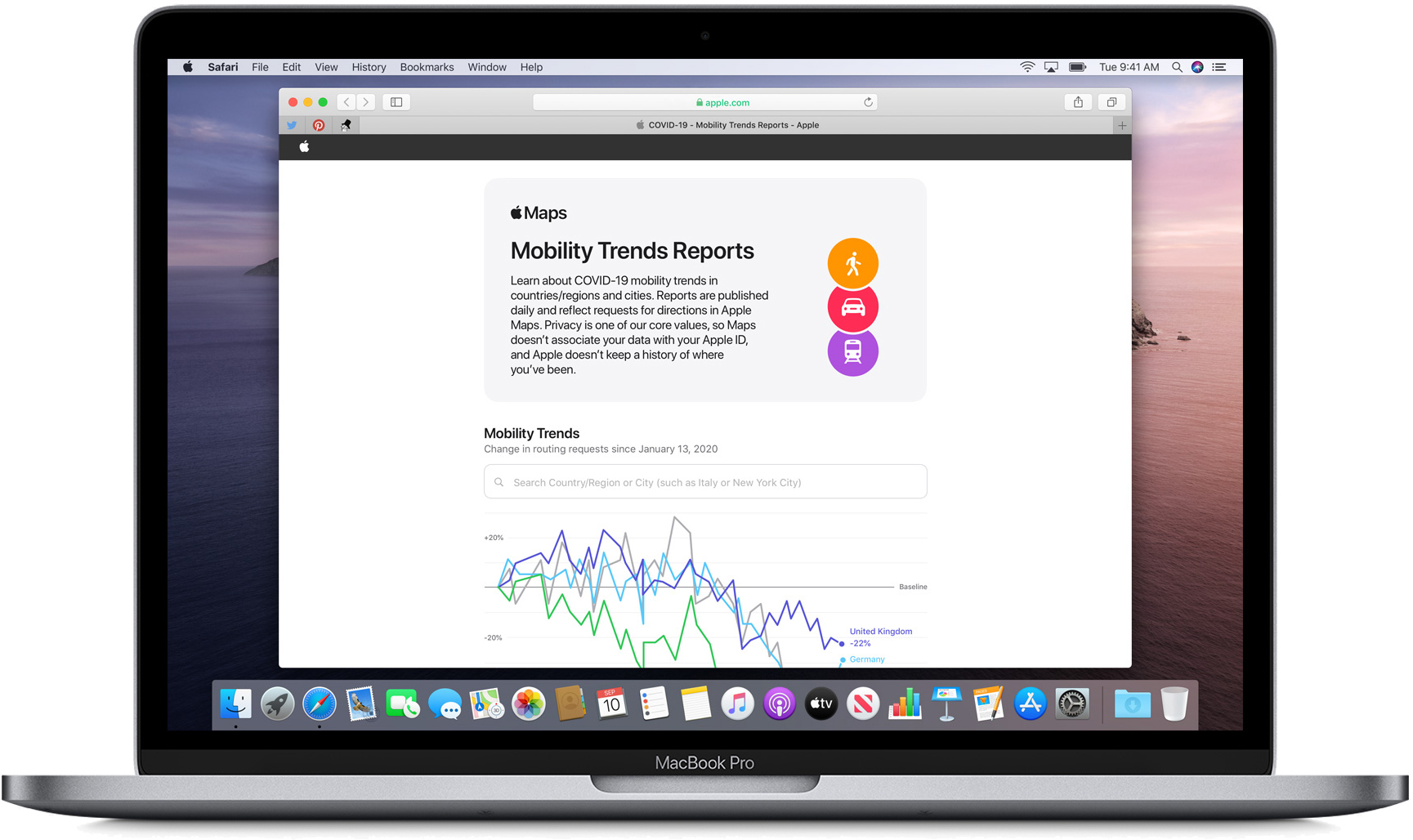
Apple's reports are designed to help mitigate the spread of COVID-19 by providing helpful insights to local governments and health authorities, although anyone can use the tool to search by country, region, or city to see specifics trends for an area.
When Apple released the tool last month, it included data from major cities and 63 countries or regions. As noted by Asymco's Horace Dediu (via 9to5Mac), Apple has added approximately 580 new sub-regions to its database.
According to Dediu, all U.S. states and 530 other provinces are now represented in the data. Apple generates the data by counting the number of requests made to ?Apple Maps? for directions.
The data sets are compared to reflect a change in the number of people who are driving, walking, or taking public transit, and Apple says that data availability in a particular place is subject to factors like minimum thresholds for direction requests made per day.
With the tool, users can search to see how routing requests have shifted since January 13, 2020, leading up to today. Apple also provides a complete downloadable data set that features daily changes in requests for directions by transportation type for all available countries and cities.
Article Link: Apple Expands Reach of Mobility Trends Report Tool to Help Mitigate COVID-19 Spread
Last edited:
