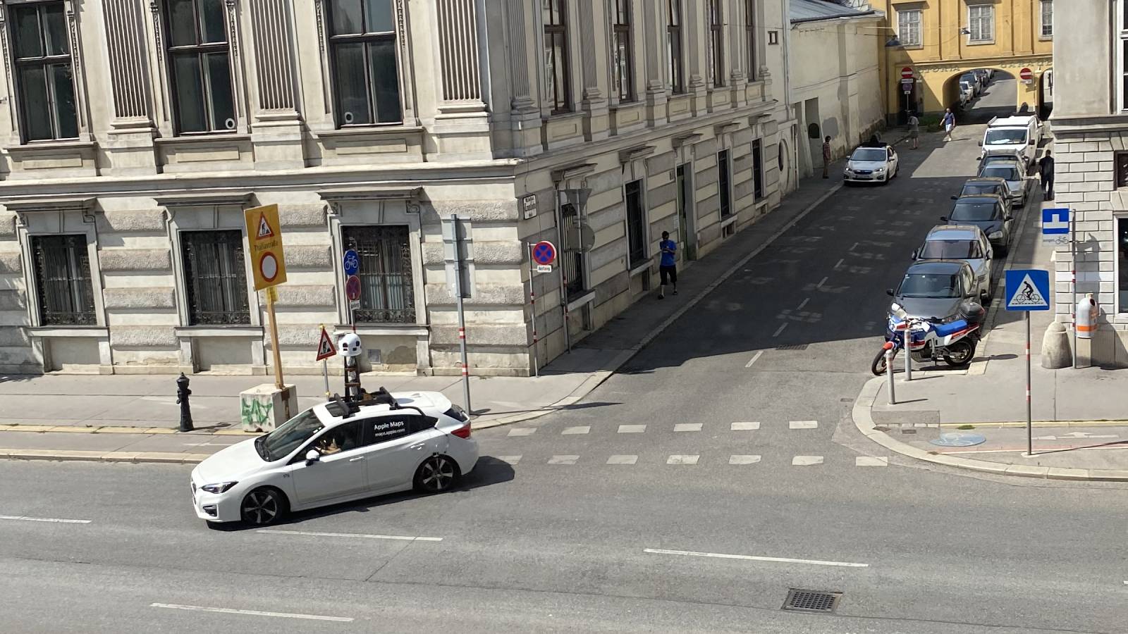
Apple Maps vehicles rigged with LiDAR equipment are collecting street-level imagery and data in several more countries and regions this summer, including Austria, Switzerland, and Hong Kong, according to a list of locations maintained on Apple's website. The vehicles have also returned to Belgium to survey additional regions after focusing on the Brussels area last year.

Apple Maps vehicle in Vienna, Austria. Photo submitted by Alexander Schilowsky.
Apple will use the data collected to improve its Maps app and expand its Look Around feature, which is currently limited to parts of the United States, Canada, United Kingdom, Ireland, and Japan. Introduced in iOS 13, Look Around is similar to Google's Street View, providing 3D street-level imagery that can be zoomed and panned.
Where available, Look Around can be accessed by tapping the binoculars icon in the top-right corner of the Maps app. Look Around also appears in the search results for a supported city, below the Flyover and Directions buttons.
Apple Maps vehicles began surveying efforts in 2015, collecting data in the United States, Canada, the United Kingdom, Australia, New Zealand, Belgium, Czech Republic, Italy, France, Spain, Portugal, the Netherlands, Slovenia, Croatia, Poland, Germany, Hungary, Singapore, Israel, and select other countries and territories.
On its website, Apple says it is committed to protecting the public's privacy while conducting surveys. For example, Apple blurs out faces and license plates in street-level imagery made available through Look Around.
Article Link: Apple Maps Vehicles Collecting 'Look Around' Imagery in Several More Countries
Last edited:

