It would be cool if I could use my phone to get a map of the area I'm flying over. I wish Apple would allow use of the GPS chip while the phone is in airplane mode.
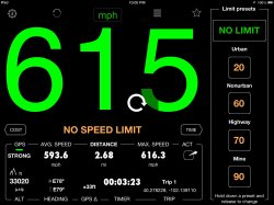
Maybe if they do, I will download an app that provides driving directions and get directions to my destination from my current location. It would be funny if the app said, "You're going to crash into something," or "I'm calling Batman, because you stole the Batmobile."
Maybe if they do, I will download an app that provides driving directions and get directions to my destination from my current location. It would be funny if the app said, "You're going to crash into something," or "I'm calling Batman, because you stole the Batmobile."