Transit directions within Maps became available alongside the launch of iOS 9. The first areas that incorporated public transit information into Maps included Baltimore, Maryland; Berlin, Germany; Chicago, Illinois; London, England; Mexico City, Mexico, New York City, New York; Philadelphia, Pennsylvania; Washington, DC; and Toronto, Canada. Transit directions are also available within hundreds of cities in China.
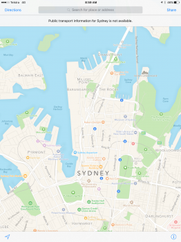
Apple is planning to expand the availability of transit directions to other cities going forward, with major metropolitan areas being a priority for the company. It appears transit information in Sydney and Boston may still be rolling out as it is not yet accessible to all users in Apple Maps.
Today's transit update follows recent news that Apple will soon shut down HopStop, the mapping company that it purchased in 2013. The HopStop service offered detailed subway, bus, train, taxi, walking and biking directions in more than 600 cities throughout the U.S., Canada, Europe, Australia, and New Zealand, and has likely played a major part in the development of the long-awaited transit feature within Apple Maps.
Update: Apple has updated its iOS 9 feature availability page to note that transit directions for Boston and Sydney will be available in October of 2015, suggesting transit information in those two cities is not yet accessible.
Article Link: Apple Expanding Maps Transit Directions to Boston and Sydney